


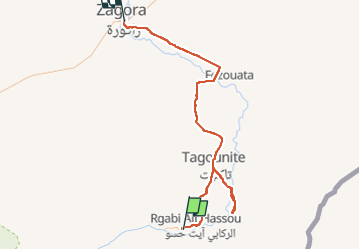
21 fev Bounou Zagora

michcoq
User

Length
119 km

Max alt
857 m

Uphill gradient
928 m
Km-Effort
131 km

Min alt
558 m

Downhill gradient
773 m
Boucle
No
Creation date :
2024-02-21 08:21:53.35
Updated on :
2024-02-25 08:19:48.298
8h37
Difficulty : Medium
0m
Difficulty : Medium

FREE GPS app for hiking
 SityTrail
IGN / Geographical institutes
SityTrail Plus
The world is yours!
About
Trail Walking of 119 km to be discovered at Drâa-Tafilalet, cercle de Zagora, M'Hamid El Ghizlane. This trail is proposed by michcoq.
Description
rando en milieu de trajet voiture
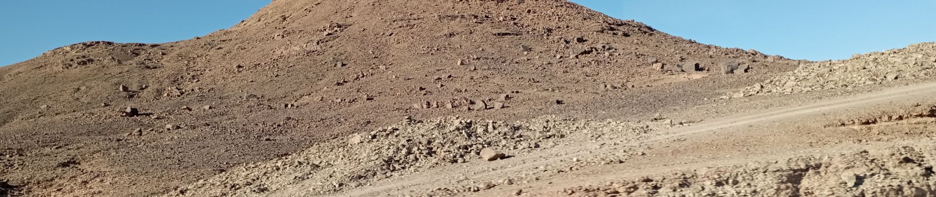
Photos

Positioning
Country:
Morocco
Region :
Drâa-Tafilalet
Department/Province :
cercle de Zagora
Municipality :
M'Hamid El Ghizlane
Location:
Unknown
Start:(Dec)
Start:(UTM)
242338 ; 3302588 (30R) N.
Comments